'The Good Place' Map
One of my favourite TV shows that I watched last year was The Good Place, an NBC fantasy comedy about the afterlife and moral philosophy.
The show takes place in “Neighborhood 12358W”, a small town within “The Good Place”, that is meant to be a heaven-like utopia for 322 residents who recently passed away on Earth and were sent to The Good Place for being good people. The neighborhood was created by Michael, the afterlife-architect, who precisely designed and calibrated every blade of grass, every ladybug, every detail, for the residents. But when one of the new residents realises they were sent to The Good Place by mistake, things begin to go horribly wrong as the perfect world falls into disarray.
On a recent rewatch I noticed this scene in Season 1, Episode 6 with a map of Neighborhood 12358W in the background. In it, Michael is trying to map out the anomalies to trace the cause of the chaos in the neighborhood.

The Good Place – © NBC/Universal Media
The map appears only briefly, and is never directly referred to in the story.
I tried looking online whether there was an official picture of the map, but I had no luck.
I also listened to official and unofficial podcasts to see if anyone mentioned the map, but because it is such a short scene it never gets a mention.
I could only find 2 attempts by fans of the show to create a map of The Good Place. One of them was based on a screenshots throughout the show rather than the map itself. The other was similar to the map shown in the episode, but they clearly took creative liberties so it looks very different to the original.
Recreating the map
So eventually this escalated into an obsession for me.
I pieced together any appearances of the map in The Good Place. From what I’ve found, it has appeared in only 2 episodes: S1E6 What We Owe to Each other and S4E7 Help is Other People.

My plan was to use these images to trace the details and recreate the map.
To trace the skewed images from the screenshots in a consistent manner I had to use image reprojection. For me the most convenient way to do this was a combination of QGIS and ImageMagick. I started off with a “base” image which had minimal distortion, but was incredibly blurry. With the base image I then started “georeferencing” more detailed images on to it. The image below illustrates how this works:

I did this with a handful of other images. Below is a GIF that shows a sequence of reprojected images being laid on top of the base image which started out quite blurry. I masked out the characters when they were standing in front of the map, which is why some of the images look a bit weird in shape.

I then imported all of these images into Adobe Illustrator and got to work tracing. I should note this project took me several months to complete because… well, I’m just not a professional illustrator. 😅
But another reason it too so long was because the screenshots themselves were not that focused. A lot of the time the map was simply not in focus of the camera, which meant I wasn’t even sure what I was tracing! More on that later.
Final result
Several Jeremy Bearimies later, I finished the map:

Click here to view the map in higher resolution. Also, quick note at this point, if you want to share the image around the web, please give attribution if you can!
Deep-diving into the map


Now that we can see the image in full view, here’s a list of discoveries that I thought were interesting:
- One of the roads on the map is in the shape of a golden spiral, a common motif for representing “perfection”.
- The compass doesn’t have the traditional ‘NEWS’ cardinal directions for North, East, West, South. Instead it has the cryptic symbols Y, Q, and X. The northern cardinal directory doesn’t appear to be labelled.
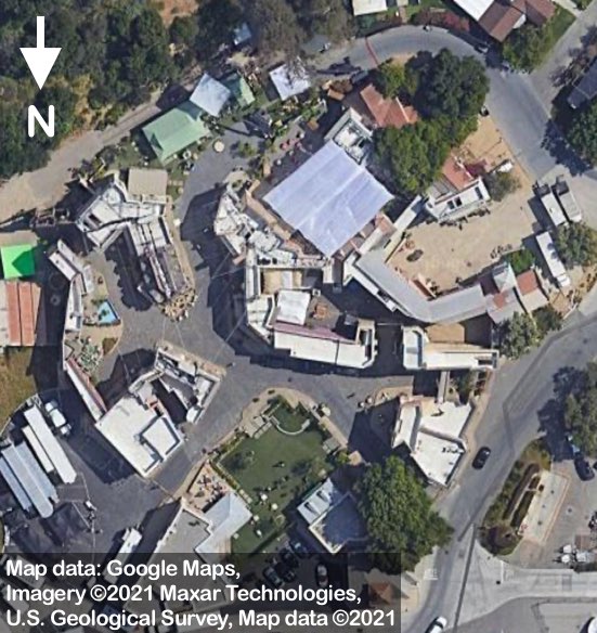
- The actual set of The Good Place is in the bottom left corner. That includes the train station and the presentation lawn. You can see the real location in Universal City, California on a map (In case Universal Studios demolishes the set, here’s satellite imagery of what it looked like)
- There are four animals in the top right: A bear, a deer, a racoon, and a squirrel. I have a hunch that these animals represent the 4 main characters of the show. I’m guessing the raccoon represents Eleanor Shellstrop because she describes herself as a “Trash bag from Arizona” in S3E1, which could be associated with the colloquial name “trash panda” for raccoons… maybe? And maybe Tahani Al-Jamil is the deer… because she’s tall? Perhaps that’s stretching it…
- Frozen yogurt appears on the left side, which in the show is a food item that gets mentioned a lot. For reasons why this is hilarious, you need to watch S2E6.


But not everything is still known about the good place map. I had to make a lot of “educated” guesses:
- The scroll on the bottom left of the map is unreadable in the screenshots. So I decided to pull an appropriate quote from S1E1 where Michael is on the presentation lawn introducing the new residents to the good place.
- The creature in the ocean on the right of the map was too blurry. I assumed it was a bird, but really it could have been anything, including a whale, seal, or Cthulhu. See for yourself!
- The grid references on the sides of the map are completely made up by me. Well, except for Þ and Δ, which were the only symbols I could recognise.
- Generally, I’ve made several stylistic decisions that diverge from the original map in the screenshots. Not just because they were blurry, but also because I’m not a professional artist that can replicate someone else’s style. For example, the sea serpent on the bottom right of the map I found difficult to recreate.
Conclusion
Now that I’ve produced this map to the fullest of my ability, I think can finally stop obsessing over it. 😮💨
It was fun combining my love of the show and my amateur GIS skills. I also learnt a bit about drawing map illustrations, and getting to grips with Adobe Illustrator (For instance, I’ve learnt that Adobe Illustrator for the desktop is absolute garbage, but I thoroughly enjoyed using the iPad app).
There are still a lot of unanswered questions but it made me appreciate the amazing details the creators of the show put in.
Although if NBC or anyone in the props department were to release pictures of the real map it would totally make my day! 🙏
Final notes:
- If you’ve stuck around to read for this long, thank you!
- I sincerely believe the usages of copy-rightable material in this post are covered by fair use under United States copyright law. If however the copyright owner would like the images on this site removed, please contact me through any of the social media channels listed in the menu.